Vertical : B&C
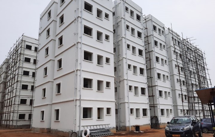
TPQMA FOR “C/O OF WORKERS’ HOSTEL (S+ 5) AT TANSIDCO INDUSTRIAL ESTATE, AMBATTUR, CHENNAI”
Read More


Topographical Survey using Aerial Drones, Surface Water Risk Assessment & Water Resources Modelling for IIT Jammu Campus
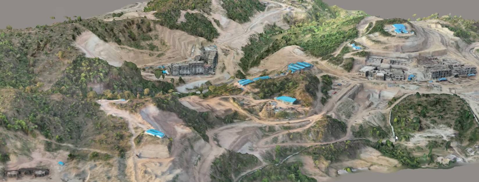
Client : IIT Jammu
Location : Jammu and Kashmir
Vertical : ENVIRONMENT AND SUSTAINABILITY
Services : Inundation Study and Surface Water Management Plan
TPQMA FOR “C/O OF WORKERS’ HOSTEL (S+ 5) AT TANSIDCO INDUSTRIAL ESTATE, AMBATTUR, CHENNAI”
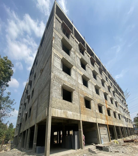
TPQMA FOR “C/O OF PLUG AND PLAY FLATTED FACTORY MODULES FOR MICRO UNITS (BASEMENT + S+ 6) AT TANSIDCO INDUSTRIAL ESTATE, GUINDY, CHENNAI”